Halvön Femöre is a nature reserve near the center of Oxelösund and very scenically located with a wonderful view of the open sea and archipelago. The origin of the peninsula's name is disputed. One interpretation is that "ör" in older parlance meant rock or natural harbour. Blasted into the primeval rock is a defense facility with a coastal artillery battery, closed in 2003, and now a museum. At the far end of the headland is the Femörehuvud lighthouse with the lighthouse keeper's residence. A kayak trip around the peninsula becomes a bit of a challenge when the sea is on, in calm weather you get around without problems. The reward is an exciting tour around the entire Femöre Peninsula, paddling through Oxelösund's deep harbor and through the narrow Femöre Canal. On the way, you can stop at a restaurant and have a good lunch.
Start and finish : The swimming and camping site at Jogersö (Bärning 200 meters if you have your own kayak. The kayak rental is down by the beach). Alternatively, the marina just before the bridge over to Jogersö or at the canoe club on Femöre. To Jogersö, follow the signs from the entrance to Oxelösund just before the bridge over the railway.
Length: 14 km (starting from Jogersöbadet)
Difficulty level: Medium, in windy weather difficult
The tour offers: Both protected archipelago paddling and open sea, lighthouses, harbor facility, narrow channel, restaurants next to the water, swimming area.
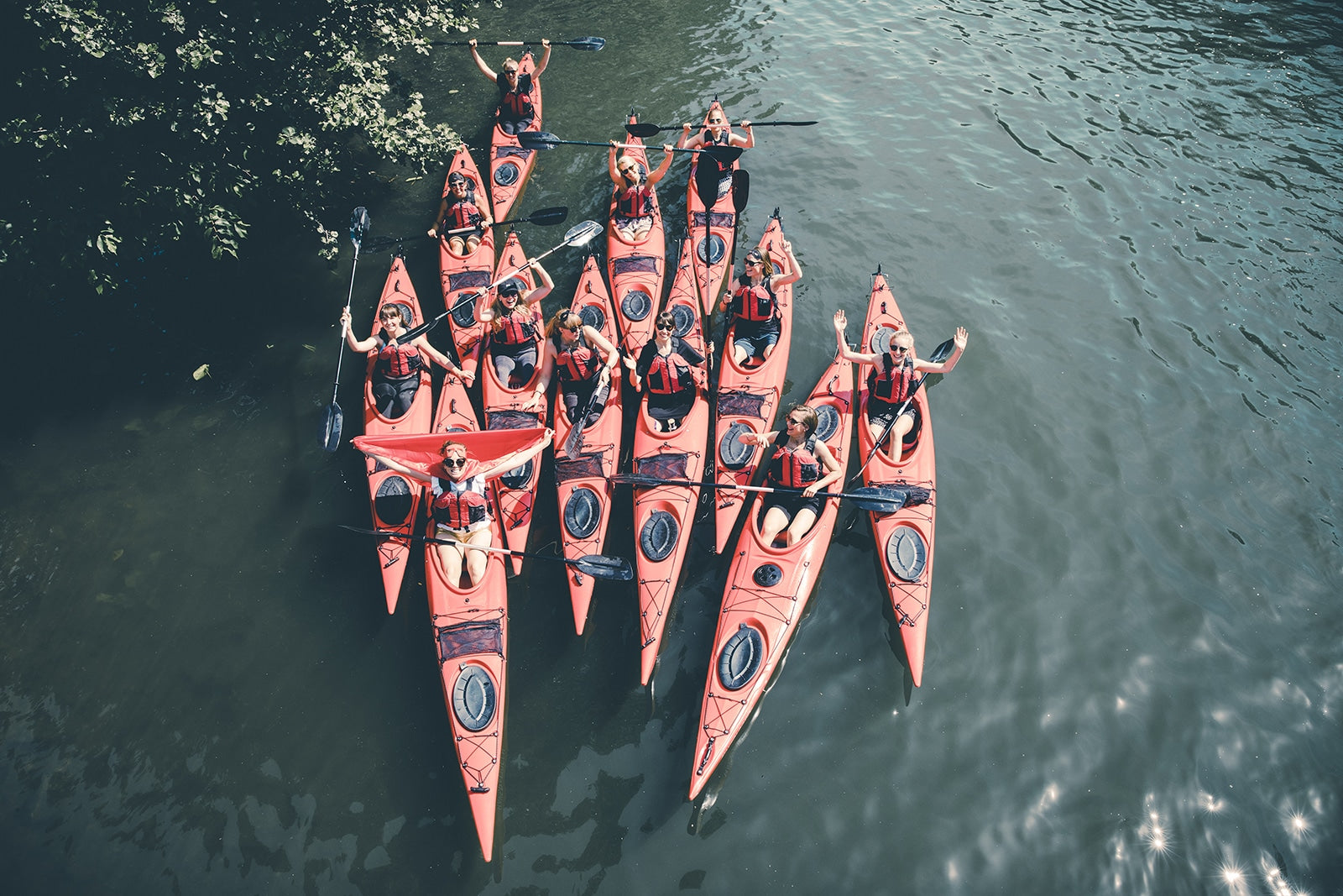
Kayak rental: Kayaking and Leisure, Oxelösund (at Jogersöbadet); info@kajakochfritid.se; telephone: 070-6449776, website: www.kajakochfritid.se
The municipality of Oxelösund publishes a map of the municipality which is distributed free of charge, e.g. at the tourist office located in the center. That map is good enough as a guide for this trip. The tour is described in a counter-clockwise direction and with start and finish from Jogersö camping and canoe rental. From the bath, you paddle out of the bay, keep to the left and follow the shore of Jogersö south to the southernmost headland, Nötudden, which you round to the left, to the east. Head towards the settlement on Gölholmen, formerly an island but now the westernmost part of Femöre. Pass by Myrskär and Stångskär which you have on your right. After Stångskär, you turn right and immediately left through Inre Ramnösund, the narrow strait between Gölholmen and the small island of Ramnöklubb. If you feel like resting here, you can go round Ramnöklubb and paddle into the bay of Ramnöugnen on the west side of Ramnö. There is a toilet and rest area here. A blue-marked hiking trail leads around the whole of Ramnö.
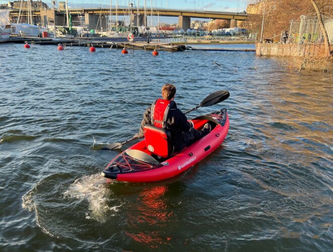
Paddle back through Yttre Ramnösund, or weather permitting round Ramnö, and continue east along Femöre. Here the sea is open and the sea level can be really high, but in calm weather there are no problems passing here. At Gubbenshål in Femöre you can rest. There is a toilet and a balcony to sit on. In front of you now lies Femörehuvud, the mountainous and impressive southern tip of Femöre where the lighthouse and the lighthouse keeper's residence at the far end form the crowning glory. In the mountain there is also a now decommissioned fortification with long-firing cannons. It is open to the public at certain times. You turn left after Femörehuvud and now approach Oxelösund's deep harbour, an impressive facility. Large ships pass here at all times of the day, but if you don't stay too far from land, there is no danger. Orange colored pilot boats also pass by frequently. Cape Ljungholmen you have to go around on the outside and then you will arrive at the Österviken with fishing port, marina and guest port. At the guest harbor there is a food service and overnight cabins. Continue along the shore of Femöre until the next marina that you paddle into, keeping to the left of the island of Stora Björn at the entrance. Opposite the island on the mainland side is a restaurant with a guest harbour. At the far end of the harbor area, the harbor basin, actually a bay, merges into the Femöre Canal, a dug channel that separates Femöre from the mainland. You come out into Femöresfjärden, where in the background behind some smaller islands you see Jogersö, which you started from. Follow the mainland side, on your right in the direction of travel. Pass a marina on the right and paddle under the bridge over to Jogersö. Follow the beach on the left, Jogersö, round the west side of the island and you are back at the starting point.
Olle Persson